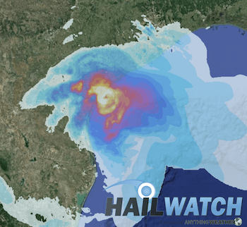
At 1100 AM AST (1500 UTC), the eye of Hurricane Irma was located near latitude 18.2 North, longitude 64.0 West. Irma is moving toward the west-northwest near 16 mph (26 km/h), and this general motion is expected to continue for the next couple of days. On the forecast track, the extremely dangerous core of Irma will move over portions of the Virgin Islands very soon, pass near or just north of Puerto Rico this afternoon or tonight, pass near or just north of the coast of the Dominican Republic Thursday, and be near the Turks and Caicos and southeastern Bahamas late Thursday.
Maximum sustained winds are near 185 mph (295 km/h) with higher gusts. Irma is a category 5 hurricane on the Saffir-Simpson Hurricane Wind Scale. Some fluctuations in intensity are likely during the next day or two, but Irma is forecast to remain a powerful category 4 or 5 hurricane during the next couple of days.
Hurricane-force winds extend outward up to 50 miles (85 km) from the center and tropical-storm-force winds extend outward up to 185 miles (295 km). The estimated minimum central pressure is 918 mb (27.11 inches).
When a hurricane threatens your community, be prepared to evacuate if you live in a storm surge risk area. Allow enough time to pack and inform friends and family if you need to leave your home.
- Secure your home: Cover all of your home’s windows. Permanent storm shutters offer the best protection for windows. A second option is to board up windows with 5/8 inch exterior grade or marine plywood, built to fit, and ready to install. Buy supplies before the hurricane season rather than waiting for the pre-storm rush.
- Stayed tuned in: Check the websites of your local National Weather Service office and local government/emergency management office. Find out what type of emergencies could occur and how you should respond. Listen to NOAA Weather Radio or other radio or TV stations for the latest storm news.
- Follow instructions issued by local officials. Leave immediately if ordered!
- If NOT ordered to evacuate:
- Take refuge in a small interior room, closet, or hallway on the lowest level during the storm. Put as many walls between you and the outside as you can.
- Stay away from windows, skylights, and glass doors.
- If the eye of the storm passes over your area, there will be a short period of calm, but at the other side of the eye, the wind speed rapidly increases to hurricane force winds coming from the opposite direction.
5-Day Forecast


